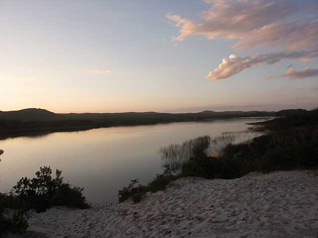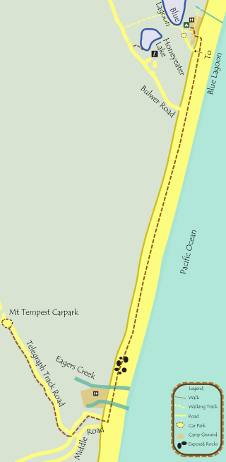

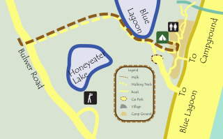
Clearly marked track to Blue Lagoon from campground over a sand dune down to the picturesque Blue Lagoon, a window lake, where the water table is exposed.
Turn left at the lake edge and work your way along the shore to the track off to the left. in the distance. Reward yourself with a swim in the lake.
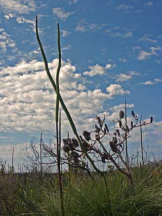
This is an exposed section, but a fairly straight track. It is a harsh environment with some stunning flora. Glimpses of Honeyeater Lake are off to the left.
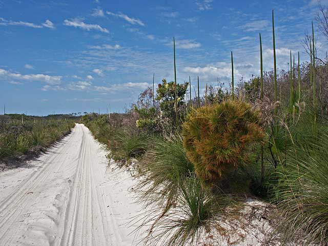

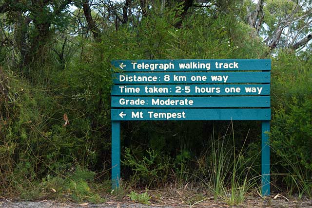
Turn right onto road. Caution required. Good clearance to the sides for passing vehicles. There are some good views along this section of the road. The Telegraph Track is off to the left and is hard to miss.
There are some interesting habitats to be found on this walk through several vegetation types including heathland and eucalypt woodland. Look out for the perched swamp found on top of the dune ridge (about and hour in, to the right). There are also relics of the old telegraph line. In spring, the track is lined with heathland flowers. This long track is best walked in winter and spring, or in the early morning during summer. At the end, turn right to Mt Tempest. Don't attempt if too hot or short of time.
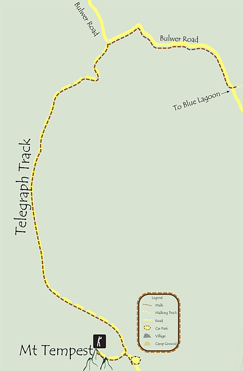

Mount Tempest is the highest sand dune on the island (also the world), 280m in elevation. Expect many steps. Seats are provided along the way and at the lookout. After a steep climb, be rewarded with 360-degree views of the island, Moreton Bay Marine Park and, on a clear day, the Glass House Mountains to the north, Scenic Rim to the south west. Best done in the cooler part of the day or in winter. Take plenty of water.
Return down mountain to car park at end of road. Walk down road to meet up with driver.
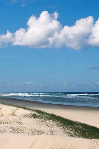
Walk down road until it meets up with the middle road. Turn left, head to ocean beach and then head north towards the lighthouse.
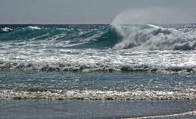
Pass by Eagers Creek and Eagers Creek campsite early on, then a long stretch of beach. Easy walking at low tide but avoid middle of the day. Pied Oystercatchers, Sea Eagles, Pipis in the sand are some of the many sights in section. Return to camp and enjoy a sunset swim in Blue Lagoon.
